Bocholt Maps - Discover a geographical information system
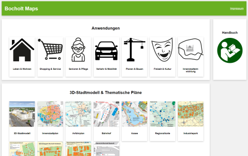
Online map services such as Google Maps are becoming increasingly important when searching for information on the Internet. The city of Bocholt also offers digital web and map services: the geodata portal Bocholt Maps. Via the URL https://maps.bocholt.de/, verified geodata including detailed information, background maps and thematic maps are made available to citizens and service providers. Employees of the city of Bocholt present the geodata apps, the thematic maps and the digital 3D city model, which allows a virtual flight over Bocholt. It will be shown how information can be searched for specifically, e.g. via the extensive POI (places of interest) database. In addition to background maps, such as current cadastral maps, current aerial images and the aerial image archive with aerial images from 1958 to 2022, the geoportal contains information for many population groups, such as for children and parents (schools, day-care centres, playgrounds, ...), senior citizens (care facilities, senior citizens' groups, active in old age, ...), tourism, leisure activities and planning and construction (standard land values, current construction sites in the city area, ...). It is also possible to download development plans and determine areas and coordinates. Contribution to costs of the VHS 3 €


