


Digital measurement of groundwater levels

Brief description
© Stadt Bocholt
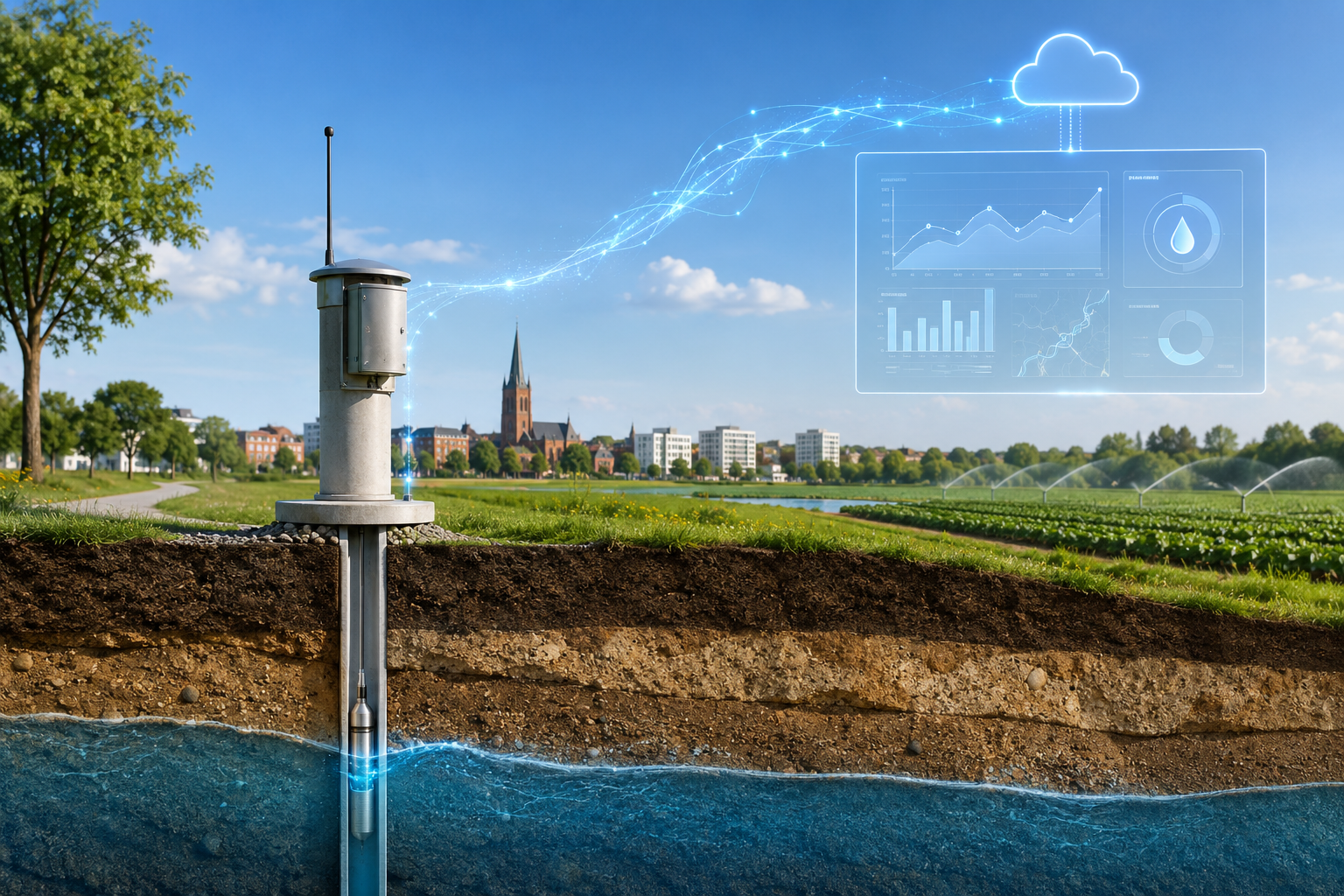
The town of Bocholt is expanding its digital groundwater level monitoring system. The aim is to make up-to-date groundwater levels available more quickly, efficiently and transparently. The data will help to better assess developments in the water balance and to make decisions based on reliable data.
Project description
The challenge
There are around 120 groundwater monitoring points in Bocholt. Until now, staff have had to visit these monitoring points regularly to take readings manually. This involves a very high level of manpower and incurs significant costs. At the same time, up-to-date information on groundwater levels is of great importance to various sectors.
Transparent water level readings are particularly important for the municipal utilities. The data may also be relevant to Bocholt's waste management and services department. Furthermore, agricultural businesses require reliable information, for example when determining whether irrigation is possible. At present, such information is often requested from the municipal utilities by telephone.
The solution
Five groundwater monitoring points have already been digitised and are visible on an internal dashboard. Digital monitoring enables water levels to be recorded automatically, displayed centrally and analysed more quickly.
In the future, further monitoring points can be digitally connected. This will provide a clearer picture of how groundwater levels are developing within the urban area. The data can be used internally for technical assessments and, where necessary, presented in a way that is understandable to other relevant stakeholders.
The benefits for Bocholt
Digital monitoring reduces the need for manual site visits and simplifies the ongoing monitoring of the monitoring points. At the same time, it improves transparency regarding the groundwater situation in Bocholt.
Up-to-date and traceable groundwater data supports sustainable water management. It helps the local authority, the municipal utilities and the ESB to identify developments at an early stage and make informed decisions. Transparent water levels can also provide important guidance for the agricultural sector - particularly during dry spells and when it comes to irrigation.
The project thus contributes to modern, data-driven and climate-resilient urban development.
Project budget
open
Implementation period
2025 - ongoing