Bocholt Maps, city maps and 3D model
On the municipal geodata portal Bocholts Maps, public city maps with various themes are available, which you can select according to your interests and areas of life:
- Shopping & Service
- Seniors & Care
- Traffic & Mobility
- Planning & Building
- Leisure & Culture
- Information on inner city development
You can search for specific addresses in Bocholt and easily activate or deactivate information on individual topics.
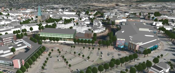
You will also find a 3D city model and other plans on specific topics, for example an inner city map.


